



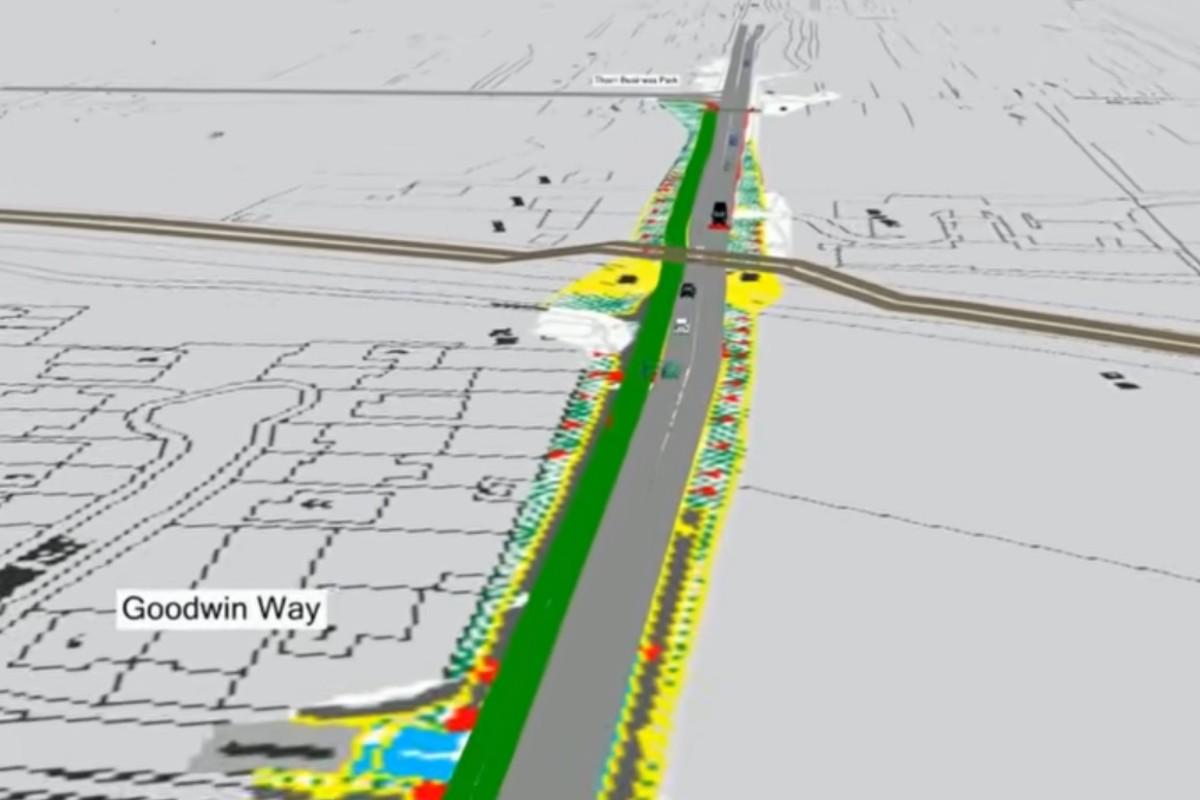

A video has been released showing how the £7.9-million upgrades to a key Hereford route will work when complete – and it confirms new traffic lights will be installed at key pinch points.
Herefordshire Council’s webpage detailing works to make Holme Lacy Road in the southeast of the city more usable by active travellers now includes a “micro-simulation model” of the final outcome, now not forecast until next spring.
It shows that the cycle route along the north side of the road only begins after the junction with Oak Crescent, some 200 metres to the east of the start of Holme Lacy Road at the junction with the A49 Ross Road.
Traffic including cycles will then be potentially held at a new traffic light-controlled junction, replacing the current mini-roundabout at the junction with Hoarwithy Road and Chestnut Drive.
RELATED NEWS:
- Why Holme Lacy Road works in Hereford are taking so long
- New double yellow lines for Holme Lacy Road, Hereford
- Contractor chosen for Holme Lacy and Quiet Routes East schemes
But journey times will still “be similar to those experienced today”, the voiceover says.
After the junction with Hinton Road, cyclists are directed down a small parallel residential road (confusingly, also known as Holme Lacy Road) which is separated from the main road by a grassy bank.
They then rejoin the main road beside the now narrowed section between Putson Avenue and the Wye Inn, before veering away again along a short unnamed stretch of road beyond the historic Freedom Church.

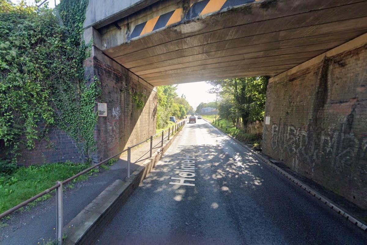
Then at the railway bridge over Holme Lacy Road, “the trickiest spot” for the project, which is currently too narrow to introduce a non-traffic lane and where cyclists are currently ordered to dismount along the narrow footway, further traffic lights will be installed “to provide a shuttle flow system”, according to the video.
“This arrangement will help discourage oversized vehicles from using the route, while creating additional space for pedestrians and cyclists,” it adds.
Improvements to the drainage infrastructure under the bridge will meanwhile seek to address its recurring flooding problem.
OTHER NEWS:
- Bid to approve 26 extra "enabling" sites around city bypass route
- Park and ride idea for Hereford is back... but would it work?
- New four-storey homes to be built next to A49 in Hereford
The cycle route then finishes at the Thorn Business Park. Cyclists wishing to head along the additional kilometre along the Straight Mile into Rotherwas business park will presumably continue along the shared-use pavement as at present.
The entire road length is also being resurfaced, leading to a “smoother drive (and) more resilient and longer-lasting roads surfaces”, the council says.
Meanwhile raised “tables” at junctions along with new pedestrian crossings will “encourage lower vehicle speeds and improve safety for everyone” – though without formally cutting the speed limit.


Share