

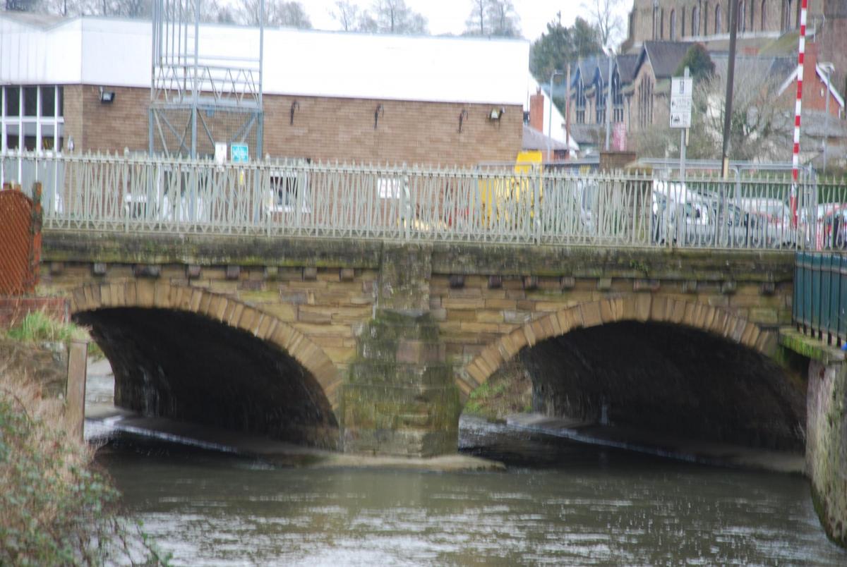
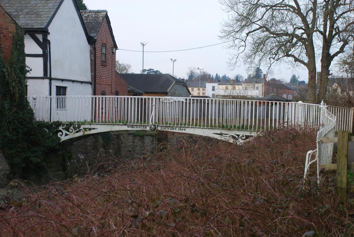
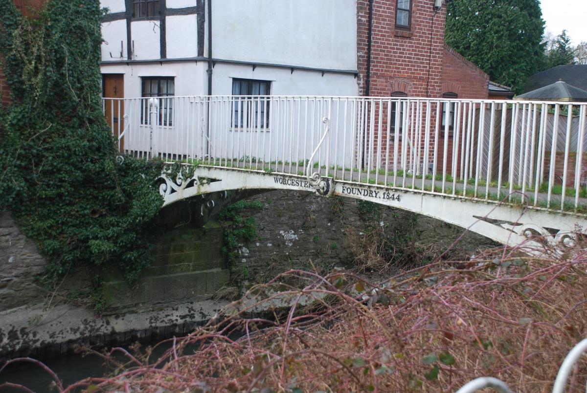
Leominster Civic Society has launched a new app about the town’s bridges and waterways.
The app follows a pre-existing webpage run by the civic society which details the centuries-old history of the town’s rivers and bridges.
John Farrar, the civic society's secretary, said: “The civic society had come up with the idea of a watercourses project to tell the story of Leominster’s past history as the place of ‘the church among the streams’ and to bring attention to those bridges which still remain after the various flood alleviation schemes of the previous century.
“The website has been in existence for several years, and we thought it would be better to create an app rather than just linking from the site”.
The project has been achieved in collaboration with LARC Development Trust, which runs Grange Court in Leominster as a heritage, community and enterprise hub. The trust became involved in 2016 when a rivers project was envisaged with the aim of highlighting Leominster’s riverside.
Mr Farrar said: “One aim was to create further public access along the Kenwater, and make a new and attractive focus with seats and a viewing position by the Kenwater bridge on the fire station side.”
Features on the app include a link to a Google map of the bridges where information on each bridge or bridge site can be accessed. There is also a page detailing the basic structure of bridges.
Mr Farrar said: “The idea is to provide a bit of background to Leominster's rivers and bridges which have changed considerably over the centuries.”
New updates to the app will soon added to include further information, as well as routes people can follow around the bridges.
Further research into the town’s rivers and bridges continues, with the civic society working with Leominster museum in the production of a booklet on the subject.


Comments: Our rules
We want our comments to be a lively and valuable part of our community - a place where readers can debate and engage with the most important local issues. The ability to comment on our stories is a privilege, not a right, however, and that privilege may be withdrawn if it is abused or misused.
Please report any comments that break our rules.
Read the rules here