

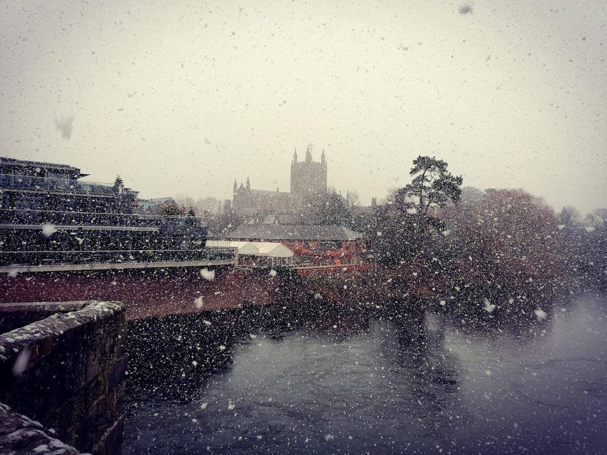
THE Met Office has issued a 32-hour weather warning for snow in Herefordshire as the cold snap continues across the UK.
The Met Office said icy stretches are likely to form perhaps leading to some disruption to travel with snow falling for some places, with the warning covering most of England.
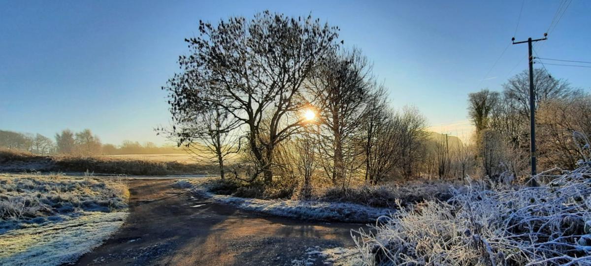
Forecasters have warned Herefordshire of showers, a mixture of rain sleet and snow, which were expected to fall onto frozen surfaces in places over the next few days.

The yellow weather warning for snow and ice came into force at 5pm on Thursday, and runs until 11am on Saturday.
Hereford is expected to miss the worst of the snow, but some light snow had been forecast between 8am until 10am today.
Temperatures will struggle to rise much above freezing today, with the Met Office saying it will feel slightly colder than that.
Eastern parts of the county could see more snow, with light snow in Bromyard forecast at 6am today and between 9am and 4pm.
Temperatures are expected to return to average on Sunday, but there will be stonger winds and occasional rain on Monday.
You can check the weather forecast in your area using the table below.
The Met Office first issued a warning for ice in Herefordshire, but later upgraded it to include snow and ice.
The warning has been updated to make this a dual snow/ice warning with the area extended southwards across more of central and southwest England. The warning end time has also been delayed until the end of today.
Showers, a mixture of rain sleet and snow, are expected to fall onto frozen surfaces leading to icy stretches forming," the Met Office said.
"In addition, a more persistent spell of rain and hill snow is likely to move south across northern England and north Wales during Thursday evening and night. This then gradually moving into parts of central and southwest England and southeast Wales on Friday.
A band of rain, sleet and snow will move across central areas this afternoon ❄️
— Met Office (@metoffice) January 8, 2021
Cold sunny spells in the north ☀️
Cloudy further south with freezing fog patches 🌫️ pic.twitter.com/O1y4Rn3SSj
"Whilst ice is expected to be the most widespread hazard, snow is likely in places too. Snow is most likely to fall over The Pennines, North York Moors and the high ground of Wales and southwest England, with 2-5 cm possible here.
"Elsewhere, whilst some snowfall is possible, accumulations are likely to be slight and temporary.
"Freezing fog patches are also likely to persist and may prove an additional hazard with areas of visibility less than 100 m at times."


Comments: Our rules
We want our comments to be a lively and valuable part of our community - a place where readers can debate and engage with the most important local issues. The ability to comment on our stories is a privilege, not a right, however, and that privilege may be withdrawn if it is abused or misused.
Please report any comments that break our rules.
Read the rules hereLast Updated:
Report this comment Cancel