

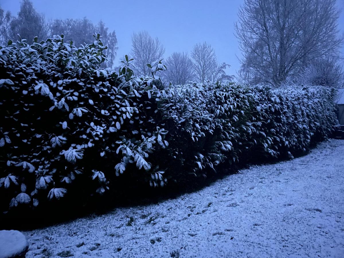
PARTS of Herefordshire have woken up to snow on Bank Holiday Monday — with more forecast throughout the day.
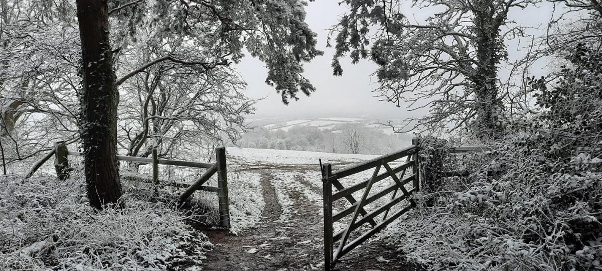
This was the scene near Bromyard this morning where snow had been falling at around 5am.
It's after the Met Office issued a snow and ice warning for Monday in Herefordshire.
It said:
- Rain may turn to snow, which along with widespread ice, may mean some disruption to travel.
- Some roads and railways likely to be affected with longer journey times by road, bus and train services.
- People shoud be wary of slipping and falling on icy surfaces
- There will probably be some icy patches on some untreated roads, pavements and cycle paths
The warning is active from midnight until 6pm on Monday.
RELATED NEWS: Latest updates as snow causes treacherous driving conditions
Priority roads in Herefordshire were gritted by 10pm on Sunday night, with the council's contractor Balfour Beatty Living Places saying it was doing so from 5.30am and urged road users to allow extra time for their journeys.
Is there snow where you are this morning? Share your pictures in the Hereford Times Camera Club on Facebook, tweet @HerefordTimes or email news@herefordtimes.com
For Bromyard, the Met Office says more snow is forecast on Monday until midday.
It will then remain cloudy for the rest of Monday, with temperatures rising to just 2C.
Snow has also been reported in Kington, with the Met Office prediciting more to fall until 10am. From then, there will be cloud, mist and fog with highs of 2C.
While Hereford might not have woken up to a dusting of snow like other parts of the county, the Met Office says light snow will fall between 9am and midday, when it will then turn to sleet.
Cloud is then forecast for the rest of the afternoon, with highs of 3C.
Herefordshire has also been warned by the Met Office that it's facing four days of snow and ice.
READ MORE: Herefordshire facing four days of snow as Met Office issues new weather warning
Large swathes of London, the Midlands, the south, south west plus the east of England and Wales have also been warned that snow and ice could hit on Wednesday and Thursday.
The Met Office yellow warning suggests that up to two to five cm of snow could fall across parts of southern Wales, central and southern England, and there is a small chance of 10 to 15cm settling in a few places, most likely on high ground above 200 metres.


Comments: Our rules
We want our comments to be a lively and valuable part of our community - a place where readers can debate and engage with the most important local issues. The ability to comment on our stories is a privilege, not a right, however, and that privilege may be withdrawn if it is abused or misused.
Please report any comments that break our rules.
Read the rules here